|

|
|
A Chart and Views of Pitcairn's Island
Latitude 25.02 S. Long. 133.30 W. [Click to enlarge image] |
[Thursday July 2, 1767]
We continued our course westward till the evening Thursday the 2d of July, when we discovered land to the northward of us. Upon approaching it the next day, it appeared like a great rock rising out of the sea: it was not more than five miles in circumference, and seemed to be uninhabited; it was, however, covered with trees, and we saw a small stream of fresh water running down one side of it. I would have landed upon it, but the surf, which at this season broke upon it with great violence, rendered it impossible. I got soundings on the west side of it, at somewhat less than a mile from the shore, in twenty-five fathom, with a bottom of coral and sand; and it is probable that in fine summer weather landing here may not only be practicable but easy. We saw a great number of sea birds hovering about it, at somewhat less than a mile from the shore, and the fea here seemed to have fish. It lies in latitude 20° 2' S., longitude 133° 21' W. and about a thousand leagues to the westward of the continent of America. It is so high that we saw it at the distance of more than fifteen leagues, and it having been discovered by a young gentleman, son to Major Pitcairn of the marines, who was unfortunately lost in the Aurora, we called it Pitcairn's Island. While we were in the neighbourhood of this island, the weather was extremely tempestuous, with long rolling billows from the southward, larger and higher than any I had seen before. The winds were variable, but blew chiefly from the S. S. W. W. and W. N. W. We had very feldom a gale to the eastward, so that we were prevented from keeping in a high south latitude, and were continually driving to the northward. ....
|
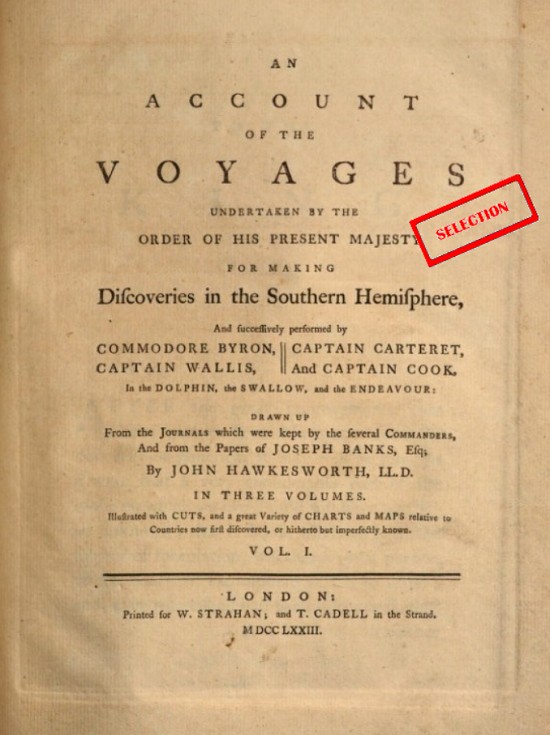
Source.
This book may be found at Google Books.
Last updated by Tom Tyler, Denver, CO, USA, December 29, 2024.
|
|